It’s Day #46 of 100 Days of Travel and I’m back in Ohrid! After staying up all night in an anxiety-fueled panic attack from the US elections, I struck out for the peace of nearby Galičica National Park. 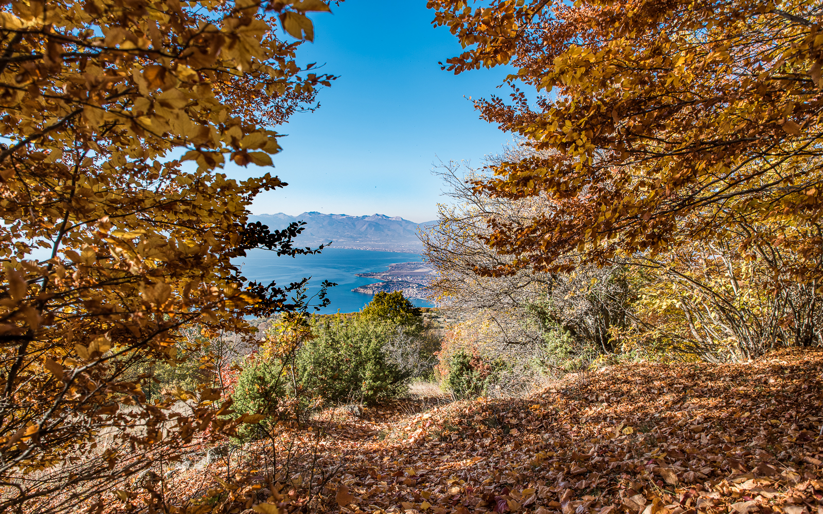
Hike Overview
This exceptional national park has multiple routes to explore and this trail is found in the northest section. The route starts in the village of Ramne, just outside of the city of Ohrid. It climbs through the forest to an exposed ridgeline called Patekata od Leko (The Easy Path) and ends in the mountainside village of Velestovo.
Hike Info
Difficulty: Medium
Type of Hike: Hiking trail, dirt roads
Distance: 8 kilometers
Time: Around 3.5 hours
Starting Point: https://goo.gl/maps/
The Trailhead
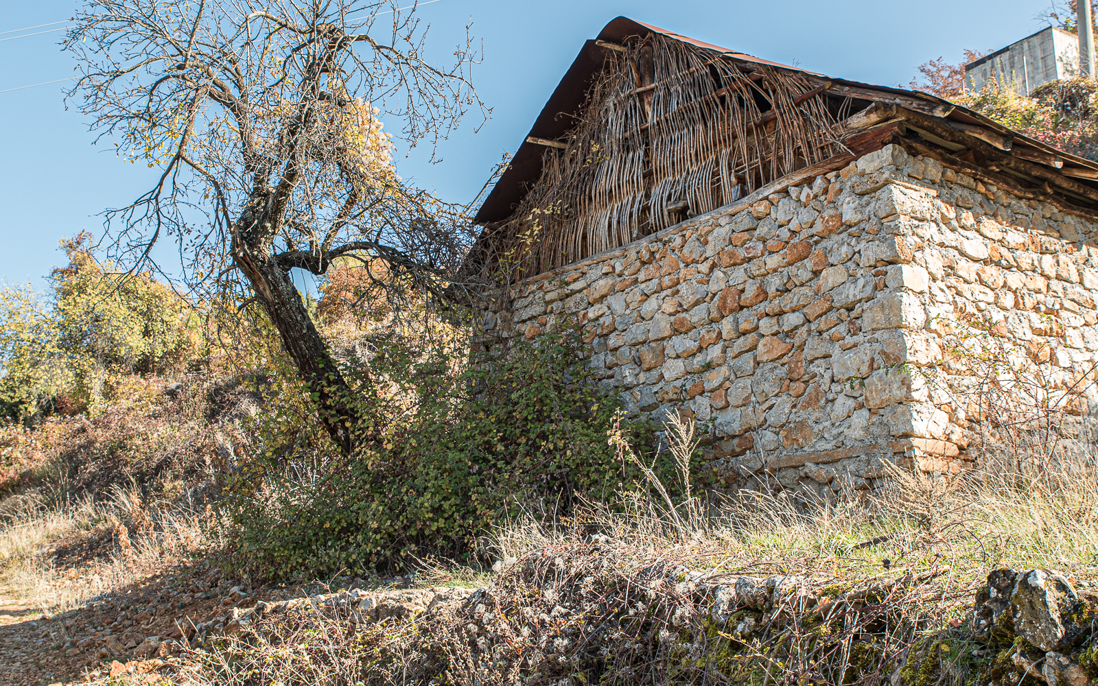
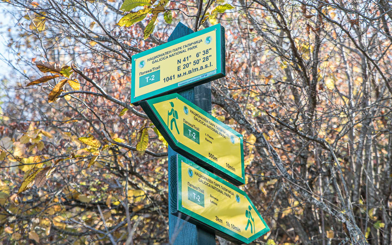
Head to the village of Ramne with either a 10-minute taxi ride or an hour walk from central Ohrid. There’s an info sign next to the spring and possibly a parking spot (I walked up, so not sure). You will definitely want your GPS for this one. The signage and route markers can occasionally be unclear.
On the Hike
The trail starts off by climbing a steep road out of town through the forest. It gradually switches over to a path. This section of the hike is part of the “T-2 Trail” if you are using the local maps found at most trailheads.
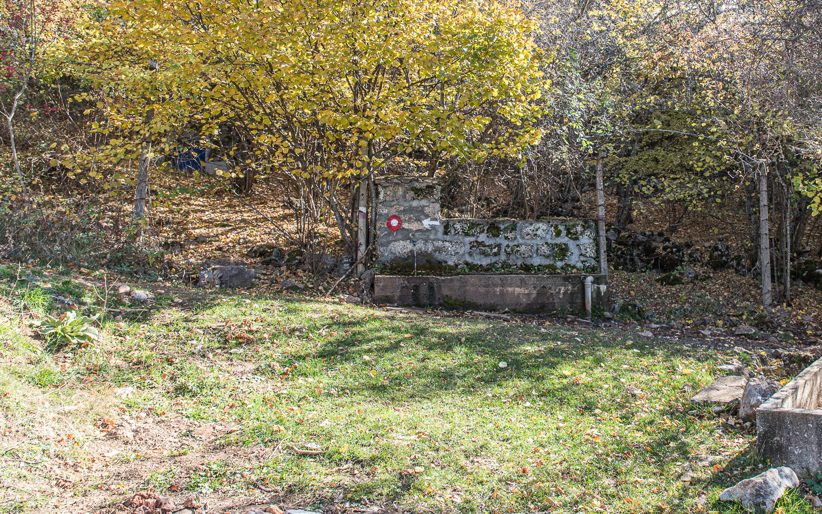
About halfway up, there’s an excellent spring to take a break at. The well, just behind the spring, looks to be protected so I felt somewhat safe about drinking from here. You can read more about my feelings on drinking untreated spring water here.
The path from the spring to ridgeline is exceptionally well marked, almost overmarked at some points. I wish the team responsible for this section handled the whole park.
There are a few DIY log bench resting spots along the way.
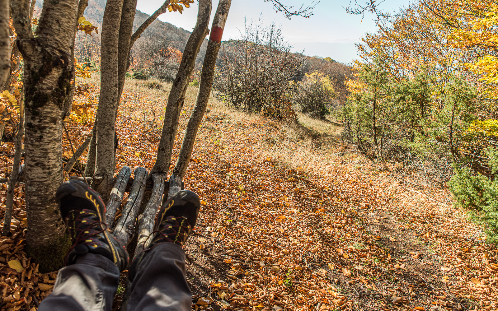
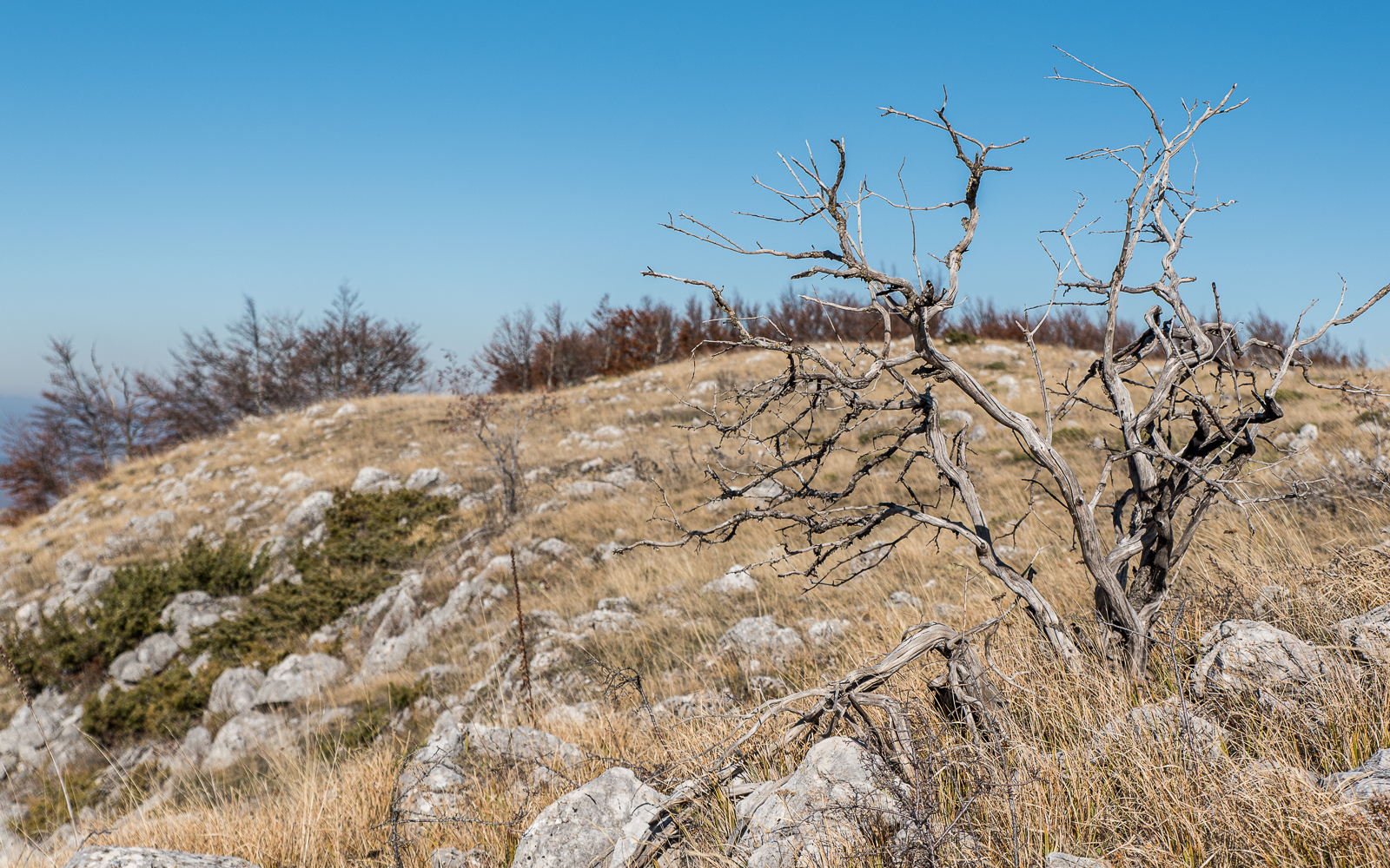
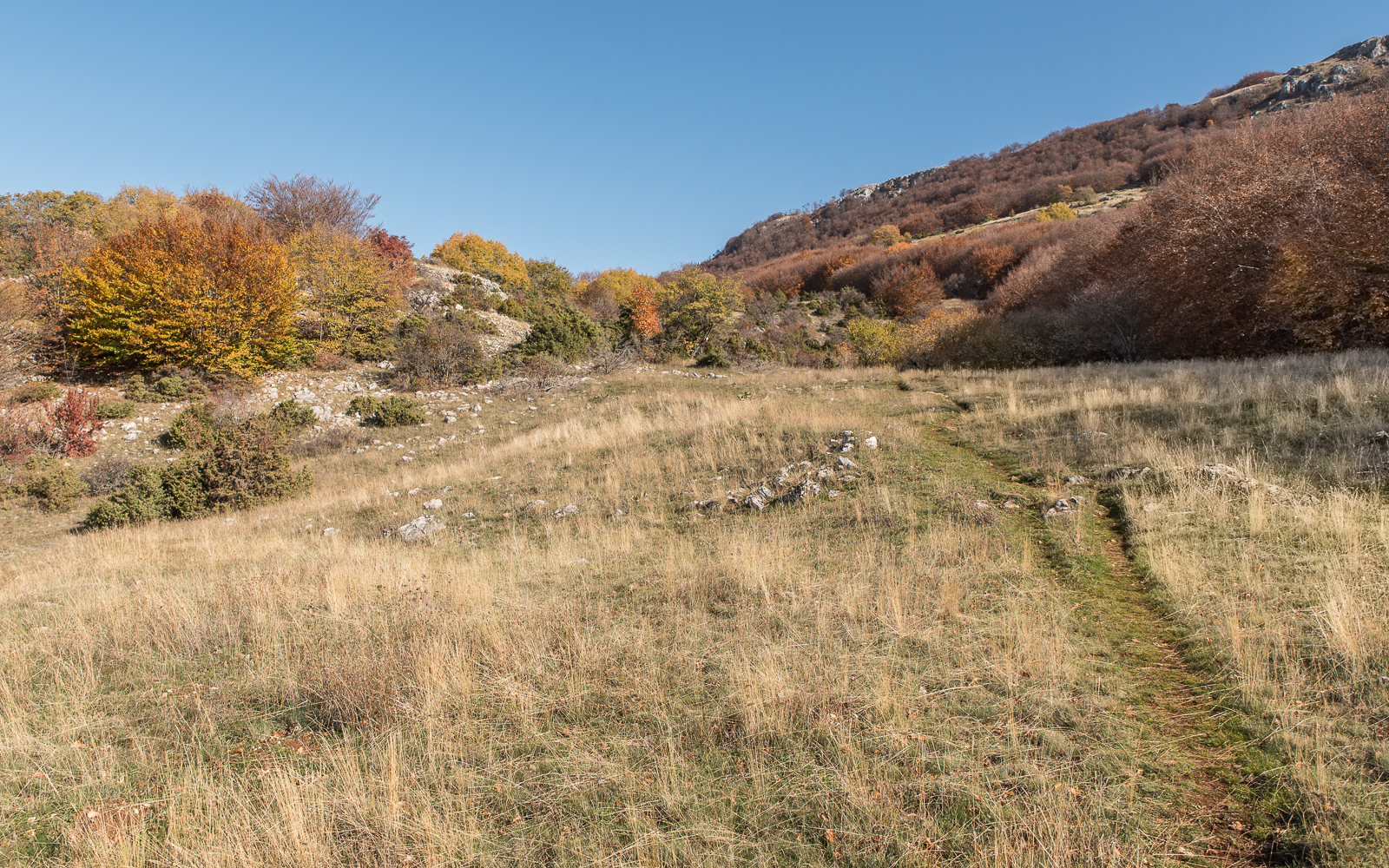
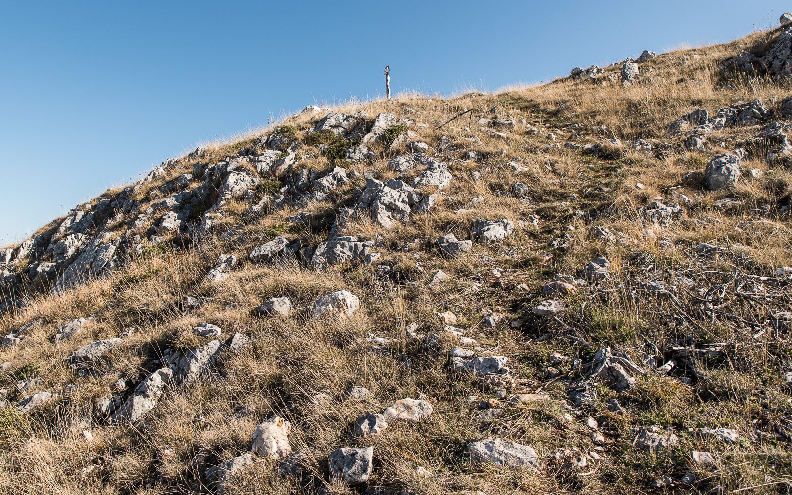
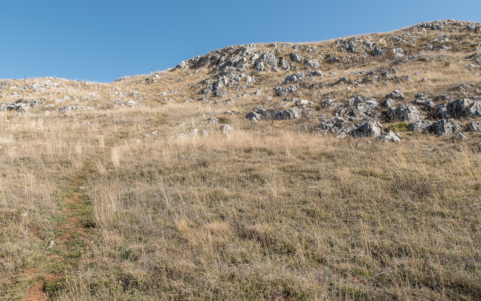
I’ve reached the top of the ridge! The trees give way to the karstic topography of the upper regions of the park. It’s mostly exposed up here, although you will see a few small stands of trees.
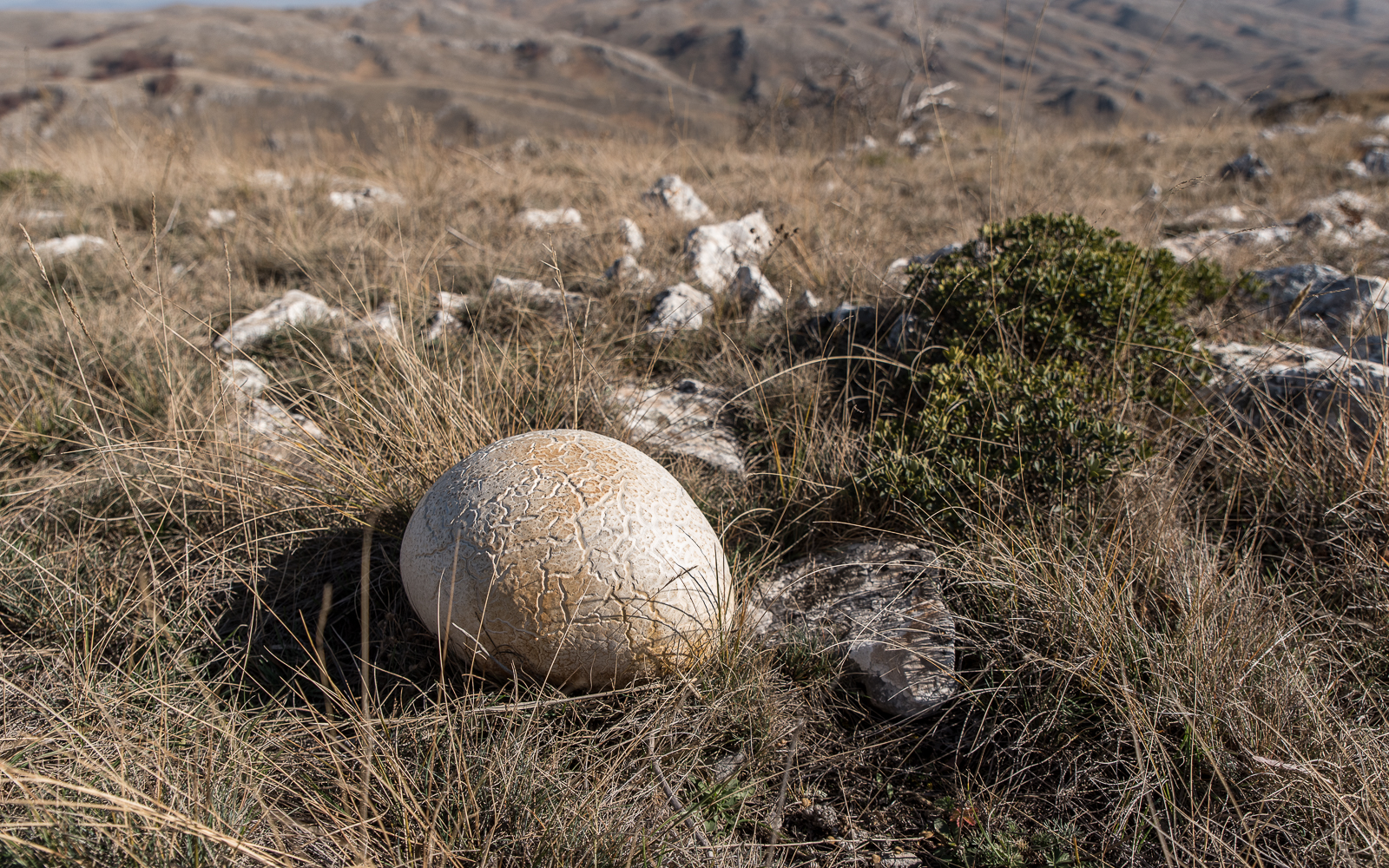
What do you think this is? A rotting soccer ball? A human brain?
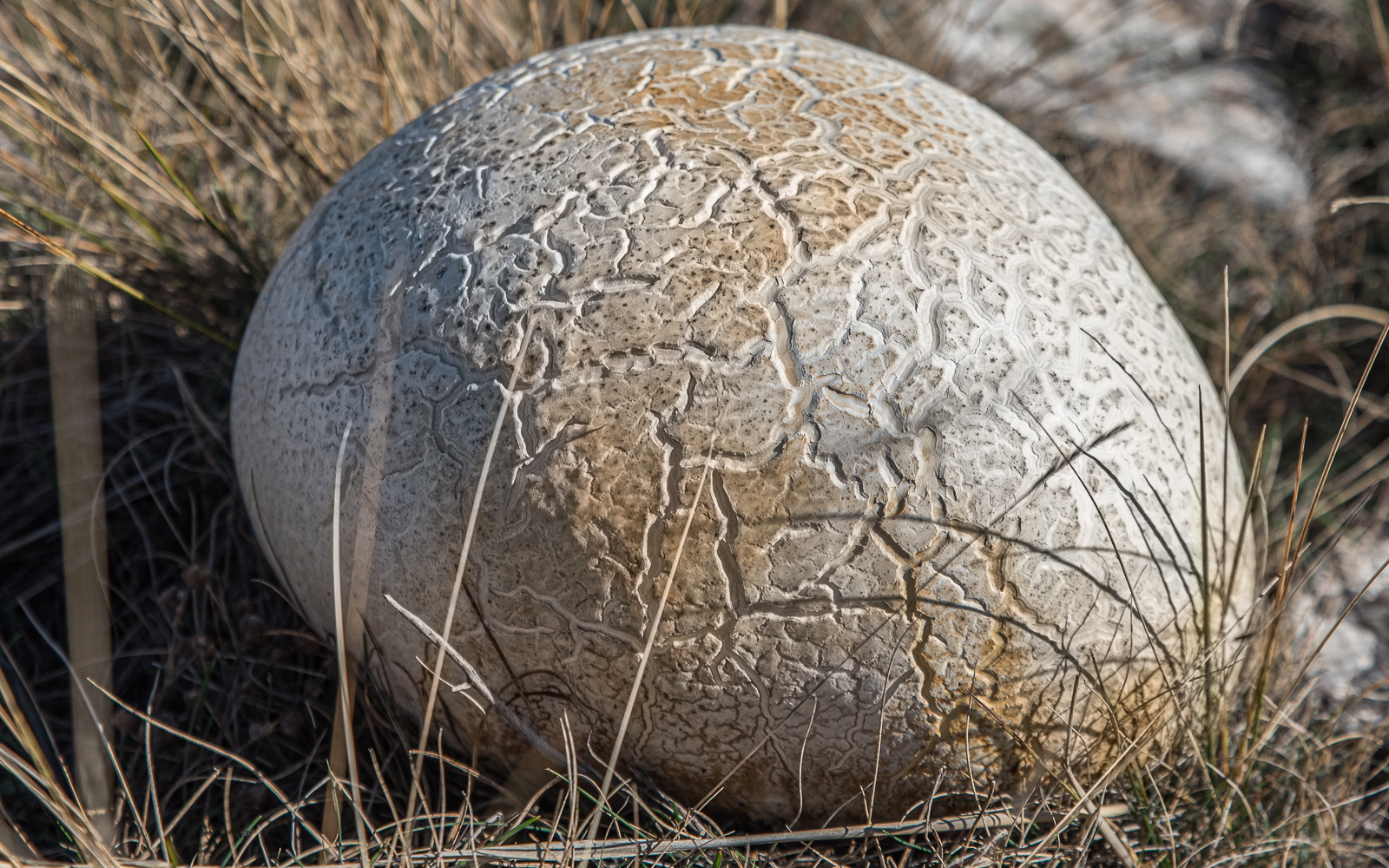
It’s a mushroom!
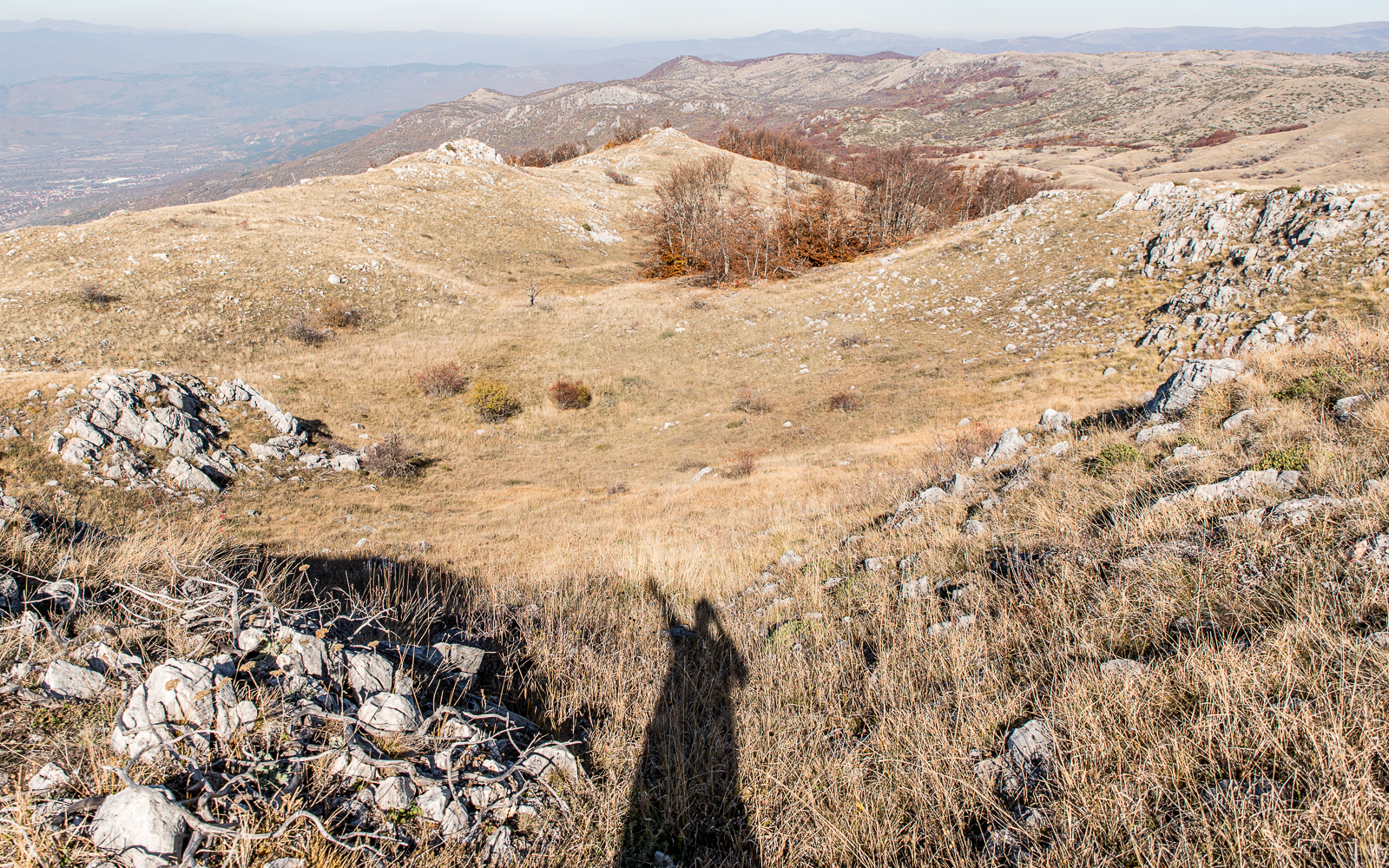
As I start walking across the ridge, the trail immediately vanishes. It’s wide open up here so you shouldn’t get too lost. Eventually, a few faded trail markers let me know I was on some sort of path. The Maps.me app for the trails up here needs some updating. I just keep walking south and making sure I didn’t drift too far to the east.
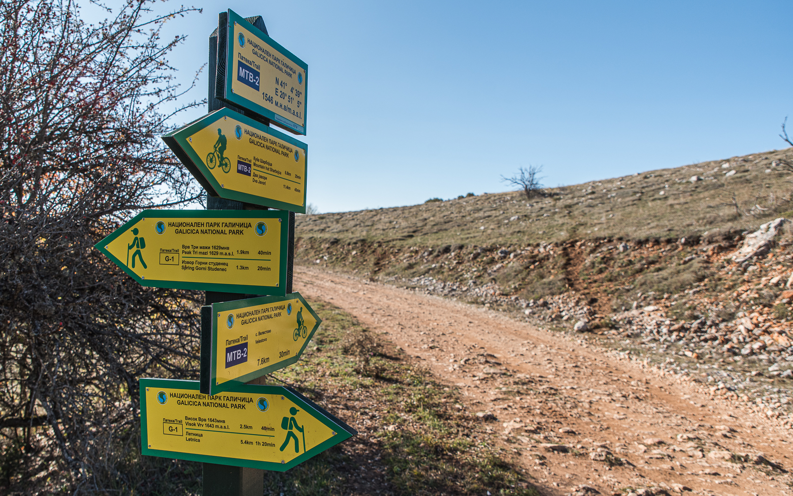
After an hour of free hiking, the ghost path intersects with an actual road. And some signs! The trail I attempted to follow along the ridge is the “G-1 Trail”, a hiking trail. The national park also has a bunch of these rough roads for mountain biking (denoted as MTB trails).
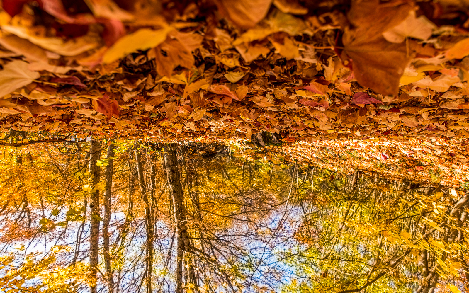
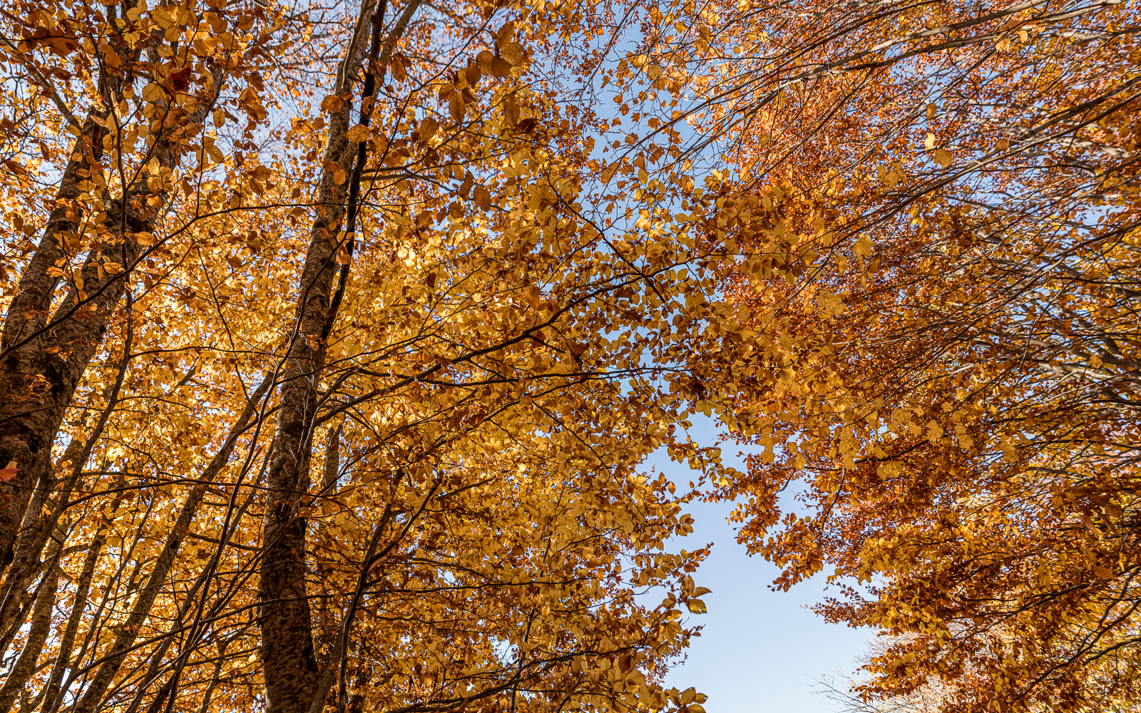
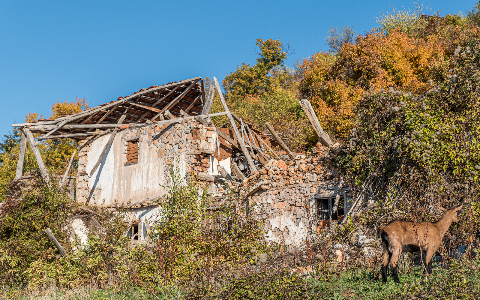
On the way back down, the hike heads backing into the autumnal forest.
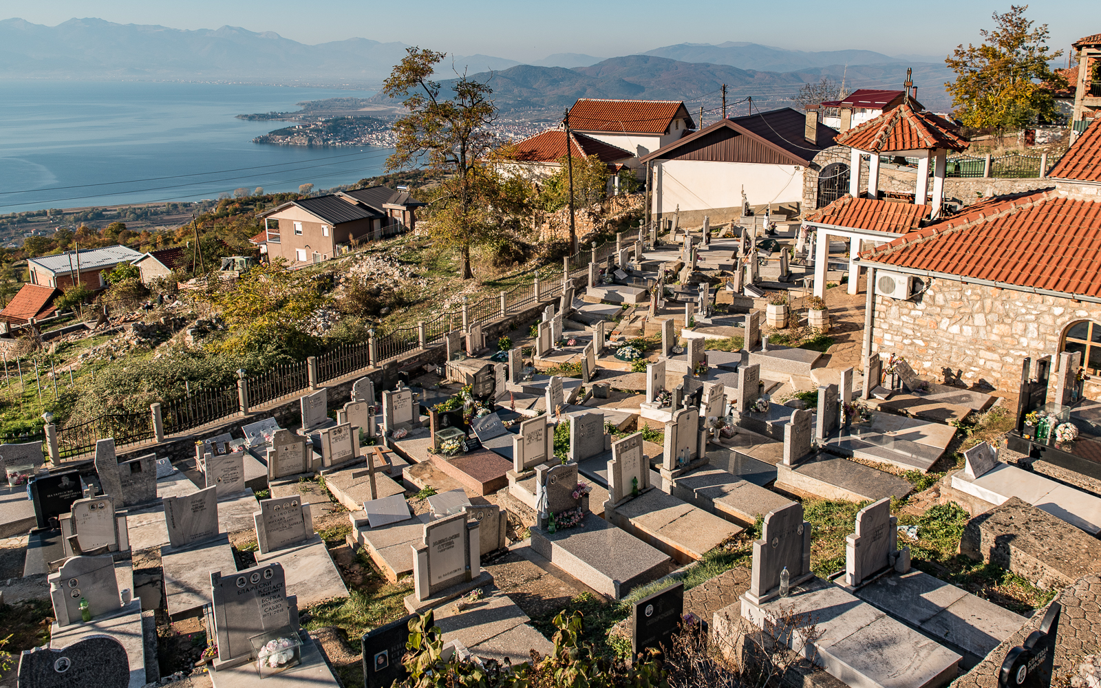
From here, it’s straight back down to the village of Velestovo. If you have a number for a cab, you can give a call for a ride back to Ohrid. Or you can walk down which takes about seventy-five minutes.
Details, Details, Details
How to Get Here: You can walk from Ohrid to Ramne and from Velestovo but it adds a couple hours to your hike. I would recommend catching a cab to Ramne (it’s not a very exciting walk) and hiking down from Velestovo which is really pretty with exceptional views of the lake and the city.
Supplies: There are springs in both villages and another spring about an hour outside of Ramne. There are no stores or restaurants in Ramne or Velestovo that I saw, so bring food with you.
Local Wildlife: While there is evidence that bears, wolves, and lynx reside in the park, it appears that the population levels are low. Macedonia can’t even be bothered to count its human population, let alone animal numbers, so difficult to make any statements as to what you might run into. Like most hikes in the Balkans, you will run into wild dogs, cows, and goats (I ran into all three on this one).
Final Notes
I love this park.